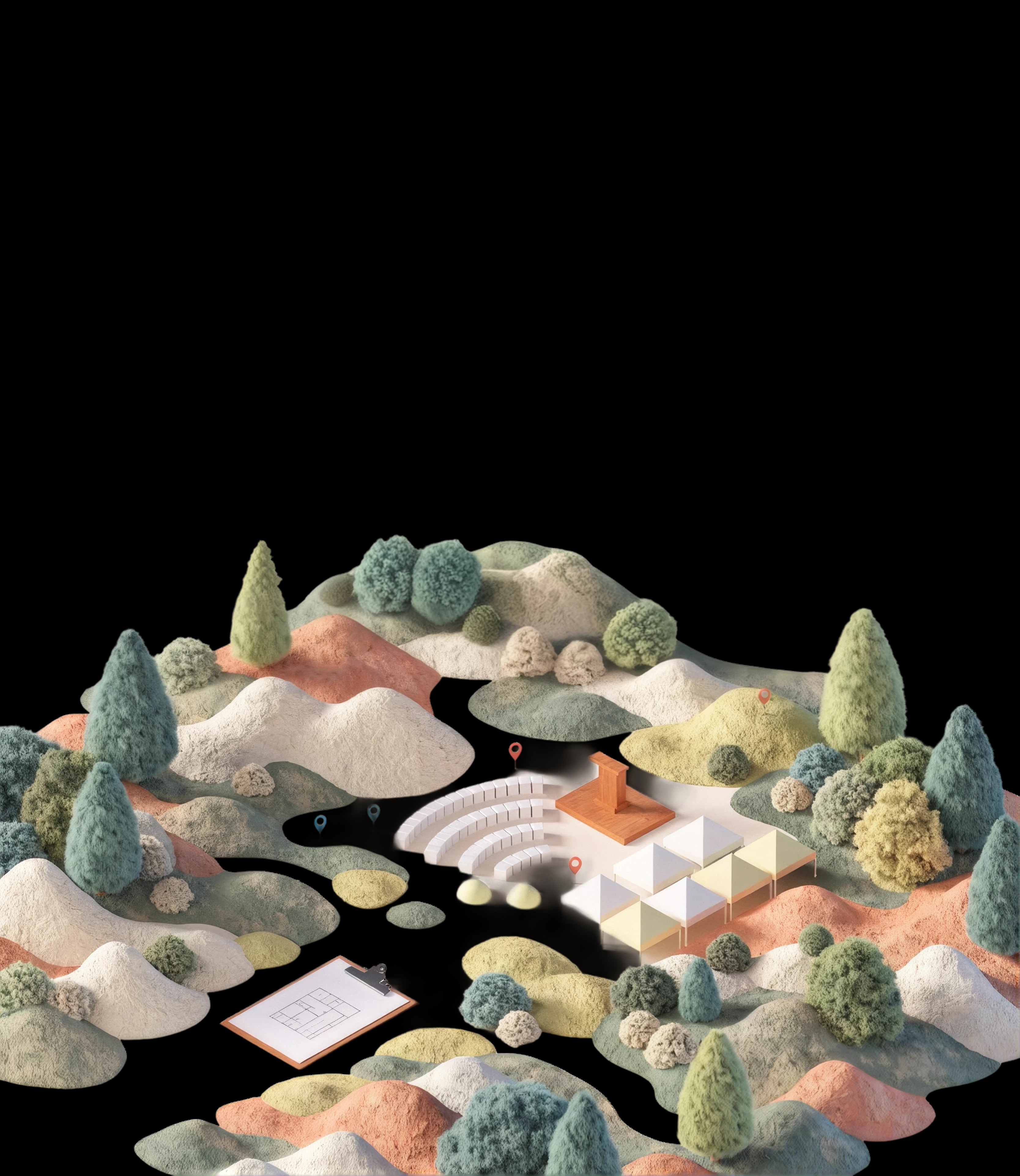
Build your plan on an interactive map
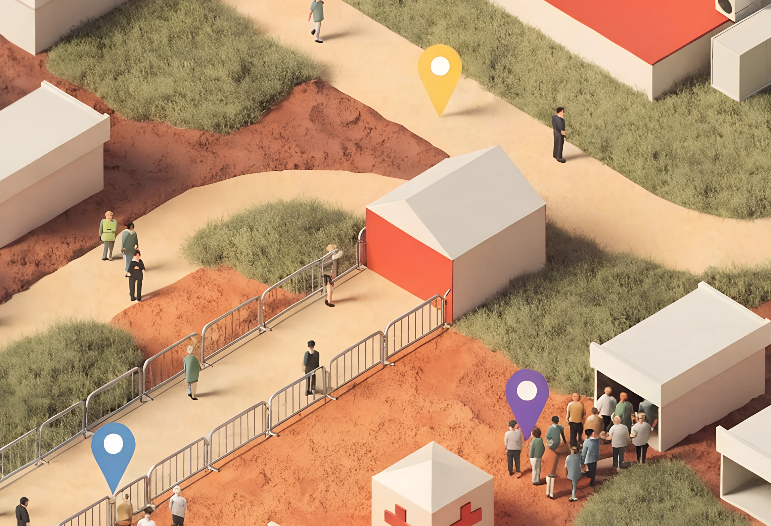
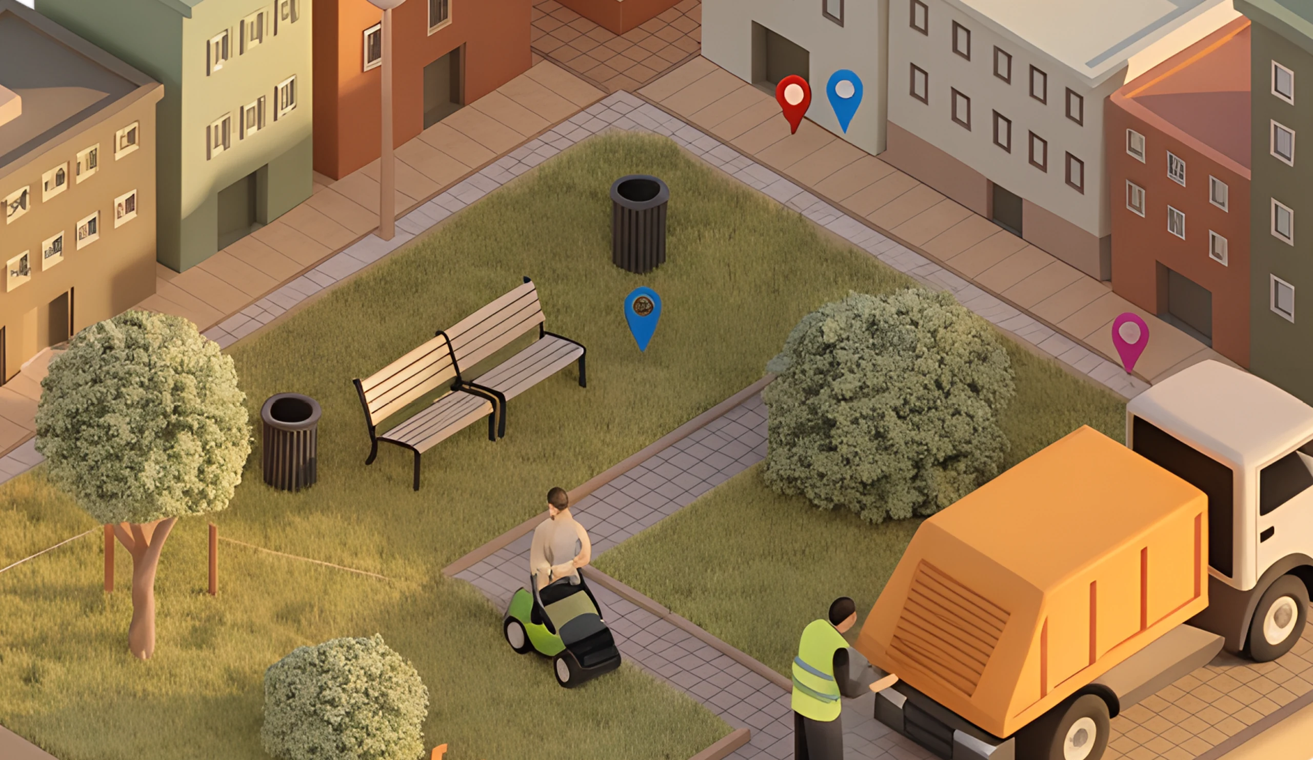
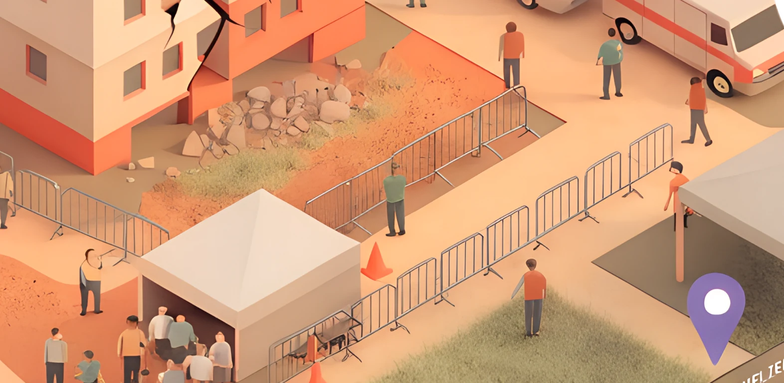
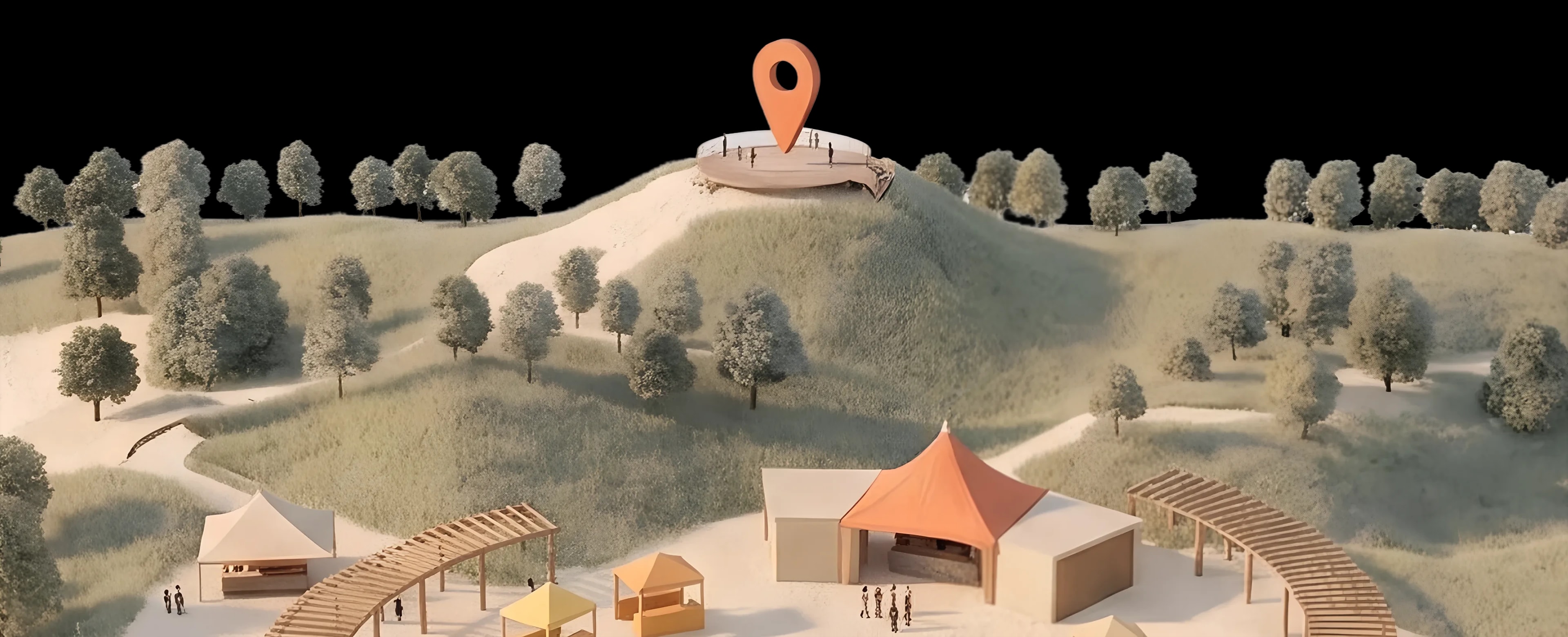
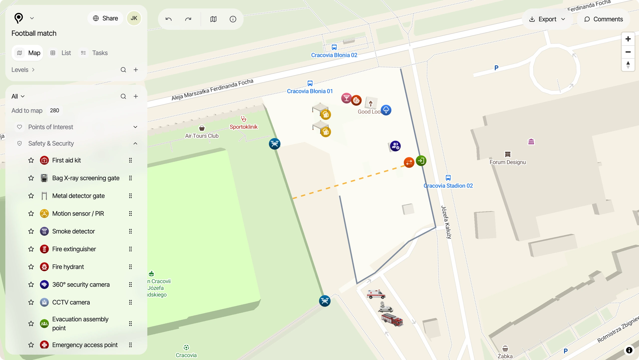
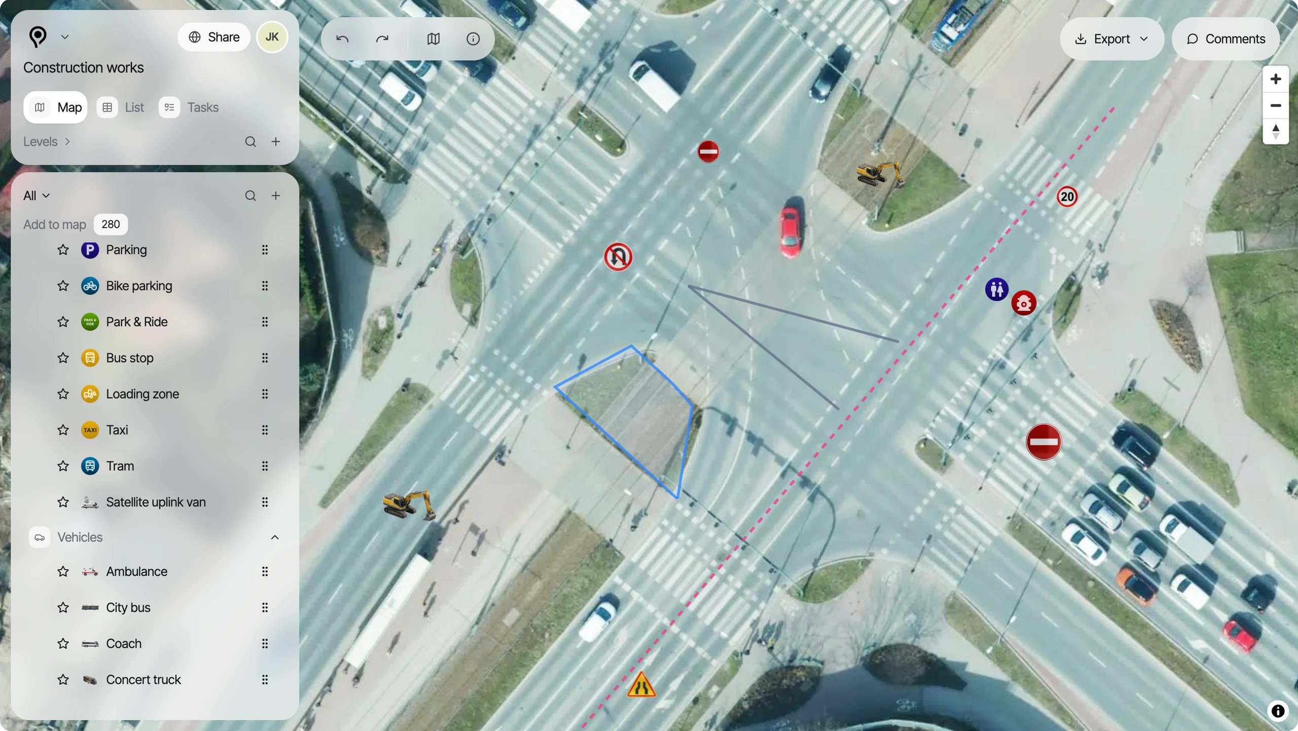
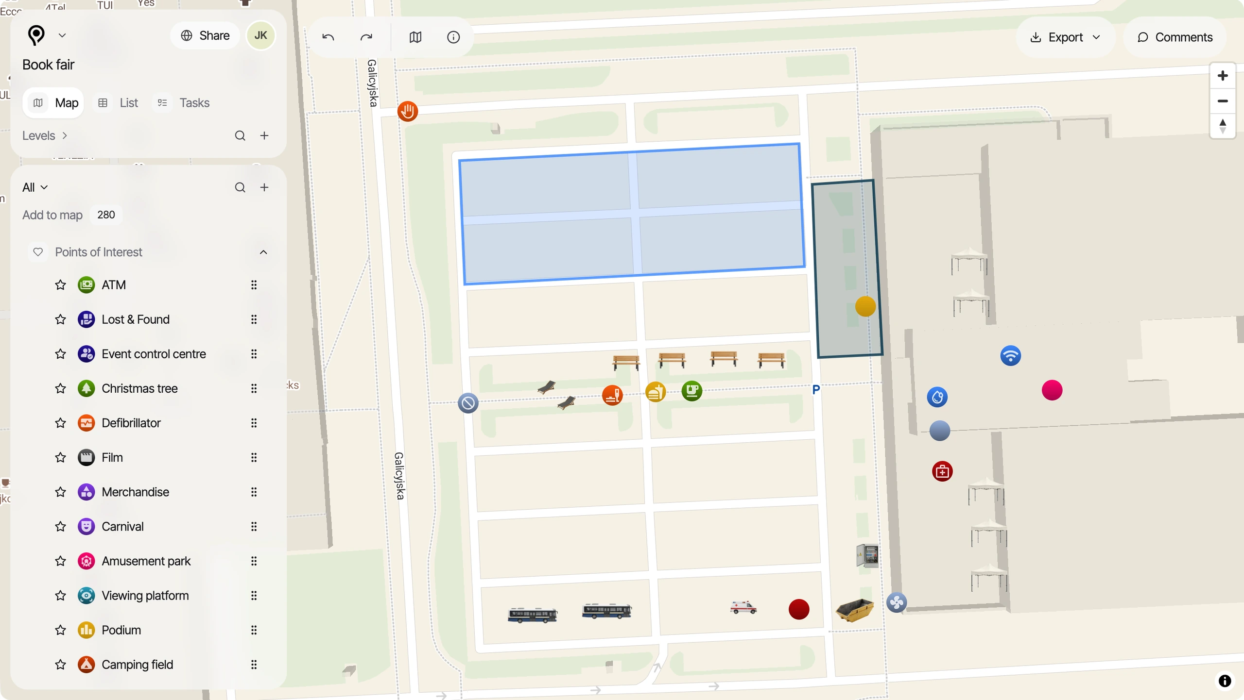
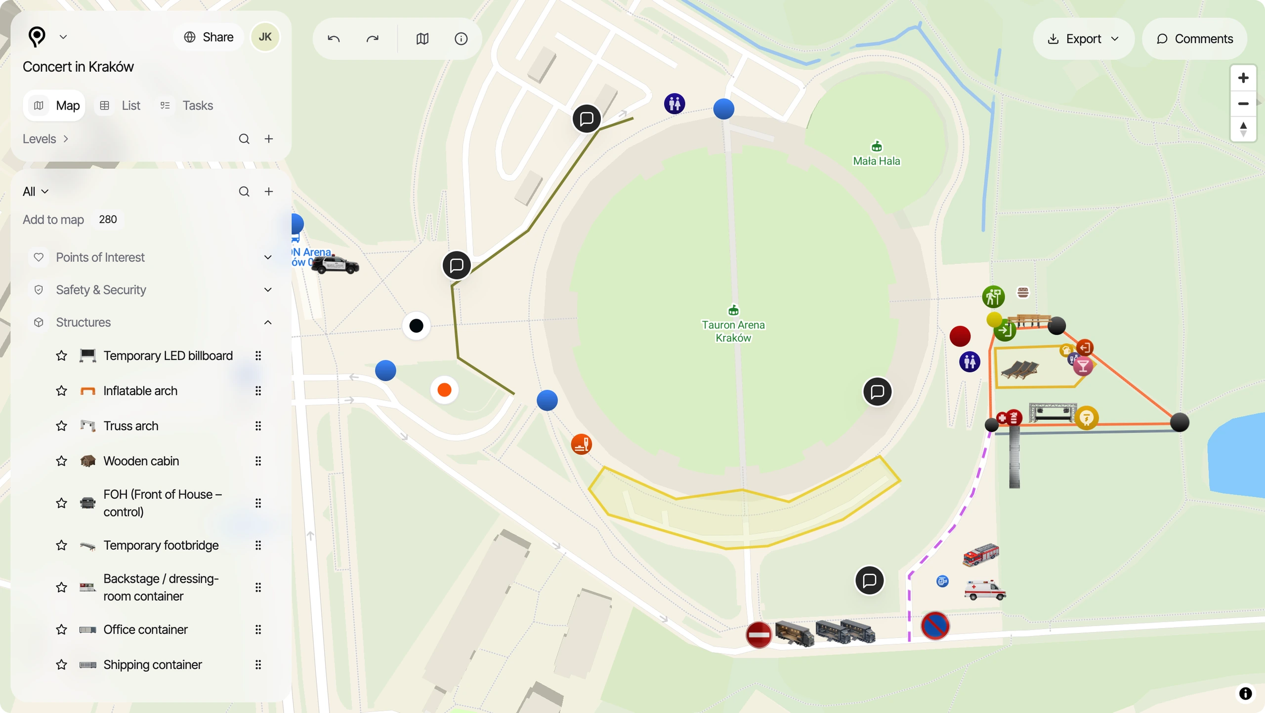
Build your plan faster using a library of more than 400 ready-made objects, or add your own. Drag them onto the map, mark out zones, add barriers and save the details that matter exactly where they are needed.

Plan your urban space without trading hundreds of emails with your team. PlanPlace brings the map, the object inventory and your team's tasks into a single working view. Your plan no longer lives in separate files, messages and spreadsheets — it lives in one place everyone can come back to.
For:
Earn more from every event
Give sponsors more visibility on the event map and open a new source of revenue.
70%
less time spent preparing the plan and aligning the team.
400+
ready-made objects that speed up building plans.
1
always up-to-date plan that brings the whole team's work into one place.
Everyone used to work from a different version of the plan. Now it is all on one map – plan objects, notes, tasks, comments. We work faster, without the stress and the misunderstandings. Planning is finally simple.
Build your plan faster using a library of more than 400 ready-made objects, or add your own. Drag them onto the map, mark out zones, add barriers and save the details that matter exactly where they are needed.
Every object you place on the map lands in a clear table automatically. Instead of retyping data into spreadsheets, you get a live infrastructure inventory that is always tied to the plan.
Hand out work without guessing who is responsible for what. Assign tasks to people on your team, add the context they need and follow progress without digging through messages.

Describe what you need, and AI picks the objects and places them on the map. Instead of adding everything by hand, you get a ready proposal to confirm within moments.
Send a link to contractors, residents or attendees, with no account and no login. Everyone sees the current plan, which can be switched off or password-protected at any moment.
Plan map
Library of 400+ objects

Planning with AI

Custom objects, photos and labels
Zones and routes
Automatic measurements
Zone capacity
Plan levels
Live collaboration

Comments on the map

Notes with photos
Tasks
Object inventory
Work schedule

Contractor link

Contractors live on the map
Objects added from the field

Public plan preview

Export to PNG and PDF
Import files from QGIS
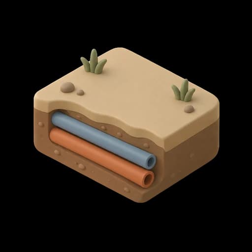
Underground utilities
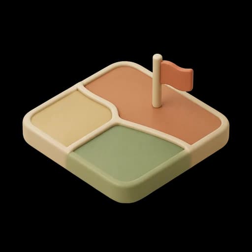
Land ownership

Team, permissions and spaces
The app in 5 languages
Use more than 400 ready-made objects, or add your own photos, icons and elements to build a plan that fits your needs exactly.

Lay out where your crew stands: security, hosts, medics, technicians and catering staff.

Mark out zones and service routes, with the quantities calculated for you.
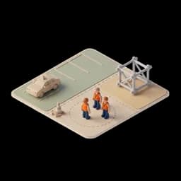
Create crowd zones, car parks, stages and other spaces with their capacity calculated automatically.
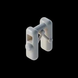
Design entrances, gates, ticket desks and accreditation checkpoints.

Map out race, parade and evacuation routes down to every turn and waypoint.
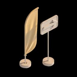
Show where the brand appears – flags, banners, visuals and display totems.
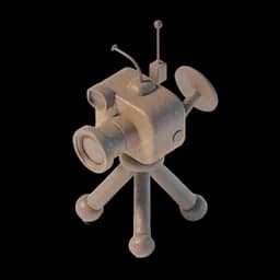
Place cameras, control rooms, antenna masts and streaming points – the full broadcast setup inside the plan.
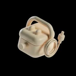
Plan the power supply: generators, distribution boards, cabling, batteries and connections with no overload risk.
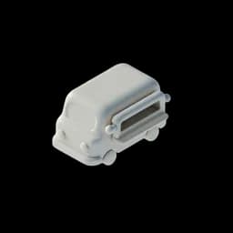
Position food trucks, bars and seating areas so waiting time in the queue is reduced.

Set up chill-out areas, reception desks and seating for guests – from deck chairs to conference tables.
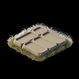
Protect the turf and lay out service roads for crews and vehicles – trackway panels and temporary roads.
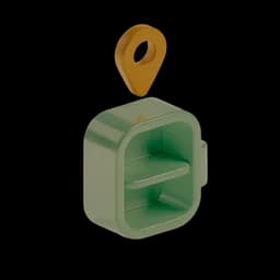
Mark everything guests need to spot at a glance: info points, attractions, installations.
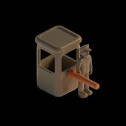
Lay out event security: guards, medical points, screening gates and alarm zones.
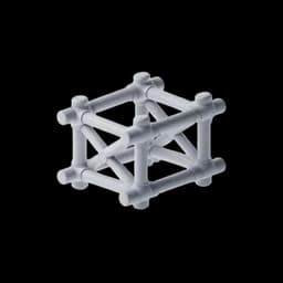
Place the stage, VIP area, tents, halls and grandstands – every event structure in one place.

Lay out standard, accessible and shower units.

Provide drinking water, wash basins and sanitary installations – essential for the comfort of guests and crews.

A full range of road signs for temporary traffic management.
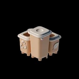
Plan a network of skips and recycling points so the site looks the same after the event as it did before.

Plan how vehicles and pedestrians move: roundabouts, lane closures, diversions, signal control.
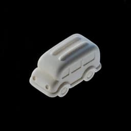
Position service, emergency and transport vehicles – from ambulances to forklifts.
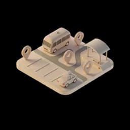
Coordinate the logistics: shuttles, car parks, stops, taxis and loading bays in one view.
No more chaos when planning your space, and no more misunderstandings across the team.

For organisers and straightforward events. Everything you need to start without the stress.
Perfect for agencies and larger teams. More features, more peace of mind.
For large organisations and unusual rollouts. Full flexibility and dedicated support.
The offer shown is for information only and does not constitute a commercial offer within the meaning of Article 66 § 1 of the Polish Civil Code.
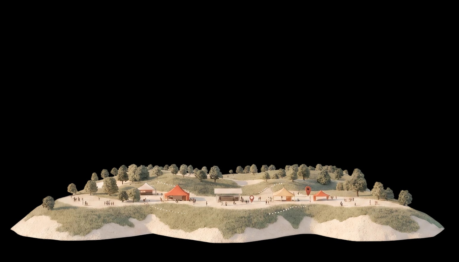
We build PlanPlace so that cities, contractors and organisers can move faster, more safely and with more control over the whole planning process.
We want to simplify how teams plan space and organise work on site. Our mission is to replace the chaos of emails, files and out-of-date plans with one clear place to work, where everyone knows what needs to be ready, where and when.


Got questions? Check the answers below or get in touch — we are happy to show how PlanPlace can work for your organisation.
No. PlanPlace is built for operations teams, officials, event managers and coordinators who need a simple tool for working on urban space planning.
The app comes with more than 400 ready-made objects that fit your company's profile. You can also upload your own images, such as building floor plans, if you run indoor events.
Yes. You can mark zones, set out barriers and use automatic calculation, so you can estimate the elements you need faster and skip counting by hand.
Yes. In PlanPlace you can work on a plan together with your team in real time. You can see who is currently in the plan, follow what others are doing, comment on specific objects and assign tasks, so the whole team works from the same up-to-date view.
PlanPlace works for planning concerts, municipal works, festivals, marathons, trade fairs, city events, sports events, construction plans and anywhere space needs to be planned properly.
Yes — especially where spreadsheets and PDFs start creating chaos. PlanPlace gives you one up-to-date plan, the object inventory and tasks in a single place.
Yes. The connection to the app is encrypted, and each organisation's data is separated at the database level — not merely hidden in the interface. Your plans stay private until you decide to share one.
Only the people you invite into your organisation. Nobody from outside — including other PlanPlace customers — will see your plans or uploaded files. When you revoke someone's access, they lose it immediately.
Yes. In your organisation settings you can import GeoJSON files or a Shapefile packed into a ZIP, up to 10 MB and with at most 2,000 objects. We recognise common coordinate systems, including WGS 84 and PUWG 1992 and 2000, so a file straight from QGIS usually needs no reprojection. During import you choose the column with object names and the look of zones, routes and points from the PlanPlace catalogue.
Discover practical advice, ideas and proven ways to plan events, spaces and projects better with PlanPlace.
One shared plan for the whole team. No more out-of-date PDFs and chaos in your inbox.