
Skip to content
Generated by AI.
Log in

All features

The map, the objects, the tasks and the work in the field, in one plan. See what PlanPlace is made of — from the first point on the map to the contractor link.

Three-dimensional illustration of a plan map with a gate and a person on site. Generated by AI.
Plan map

The whole plan in one place — on a real map

Plan an event, a project or work in the field directly on the city map. Enter an address, choose streets, terrain or satellite imagery, and you see at once where everything goes. Nothing to install — the plan runs in the browser.


Three-dimensional illustration of an object library for placing on a plan. Generated by AI.
Library of 400+ objects

Drag, drop, done

Stages, tents, toilets, barriers, cones, road signs, vehicles, food stalls, medical points, staff and much more — across 25 categories. Drag an object onto the map, then move, rotate and resize it. One click undoes a mistake.

Three-dimensional illustration of a sparkle and a speech bubble, standing for AI placement. Generated by AI.
Planning with AI

Describe what you need. AI places it on the map.

Write what you want to add — for example “place benches along the main avenue” or “add stops in this area”. AI picks objects from the library, suggests how many and the best layout. Before the changes go in, you see everything on the map and decide whether to confirm.

Three-dimensional illustration of custom objects, photos and labels on a plan. Generated by AI.
Custom objects, photos and labels

Add anything the library does not have

Upload your own icons and photos, and add labels and simple shapes. The plan looks exactly as you need it — with partner logos, a stage visualisation or a note on the entrances.

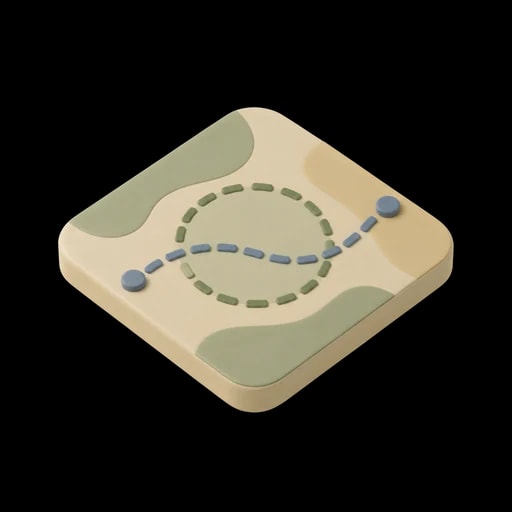
Three-dimensional illustration of zones and routes drawn on a map. Generated by AI.
Zones and routes

Mark areas and paths in a few clicks

Draw a parking, camping, stage or work zone and lay out routes for people and vehicles. You choose the colours, and the fill follows the outline on its own.

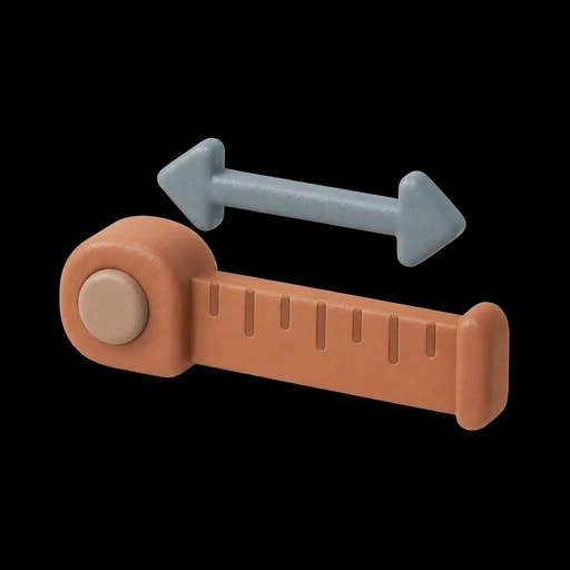
Three-dimensional illustration of automatic length and area measurements. Generated by AI.
Automatic measurements

Dimensions, lengths and quantities calculate themselves

Every zone shows its perimeter and area, and a route shows its length and walking time. For barriers and cones you immediately see how many pieces a stretch needs. No more counting on paper or measuring a printout with a ruler.

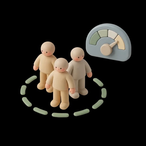
Three-dimensional illustration of a zone’s capacity for people, cars and tents. Generated by AI.
Zone capacity

You know how many people, cars and tents will fit

A parking zone suggests how many cars fit, a camping zone how many tents, and a crowd zone a safe capacity at the density you choose. Change the shape and the numbers update at once.

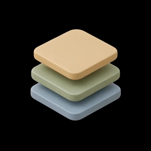
Three-dimensional illustration of plan levels stacked as layers. Generated by AI.
Plan levels

Setup, the event and teardown on separate layers

Split the plan into levels, for example work stages, event days or layout variants. Each level has its own objects, so the map stays readable, and you switch between levels in one click.

Three-dimensional illustration of a team working on one plan at the same time. Generated by AI.
Live collaboration

The whole team works on one plan at the same time

You see who is in the plan and what they are working on, and every change shows up for everyone at once. No need to email versions or ask which file is current.

Three-dimensional illustration of a comment pinned to a map. Generated by AI.
Comments on the map

Talk about a specific place, not “that corner by the stage”

Pin a comment anywhere on the map, reply in a thread and mention people with @. The person you mention gets an email, so nothing gets missed.

Three-dimensional illustration of a photo note attached to a plan object. Generated by AI.
Notes with photos

Every decision sits on the object it belongs to

Add a formatted note with photos to any object: dimensions, a supplier’s contact, a photo from the site visit. The details stay where they will be needed, not lost in email.

Three-dimensional illustration of team tasks with a deadline and a priority. Generated by AI.
Tasks

Who, what and by when — without another app

Create tasks with a priority and a deadline, assign them to people on the team and link them to objects on the map. The “Mine” and “Due” filters show what to do now, and the assignee gets a notification.

Three-dimensional illustration of an object inventory with quantities. Generated by AI.
Object inventory

An object list straight from the plan

The app counts everything you place on the map and groups it into categories with quantities and notes. One click downloads the list to Excel, ready for suppliers or purchasing.

Three-dimensional illustration of a work schedule for contractors. Generated by AI.
Work schedule

Every contractor knows what to do, and when

Assign work to specific objects on the map, choose the contractors and the days. You see what is already done, and you can export the schedule to Excel.

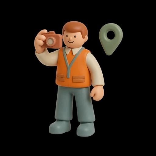
Three-dimensional illustration of a contractor with a wrench, a location pin and a clock. Generated by AI.
Contractors live on the map

You know where your crews are — at any moment

For the duration of the work you can ask contractors to share their location. Their position appears on the plan map together with the time of the last update, so you coordinate crews faster and react to delays sooner.

Three-dimensional illustration of an object added from the field by a crew. Generated by AI.
Objects added from the field

The crew puts on the plan what they found on site

A contractor adds an object exactly where it stands, with a name, a note and photos. You see it in your plan at once, together with who added it. You turn this on and off separately for each contractor.

Three-dimensional illustration of a public plan preview. Generated by AI.
Public plan preview

Show the plan to attendees, residents and partners

Share the plan with a view-only link, no login required, including the work schedule. Team notes, comments and tasks stay private. You can add a password, and when needed, invalidate the old link in one click. (Available on the highest plan)

Three-dimensional illustration of exporting a plan to PNG and PDF. Generated by AI.
Export to PNG and PDF

A plan ready to print, present and put on a poster

Download the map as an image or a PDF in three qualities: from a light file for email to a very high resolution for large-format print.

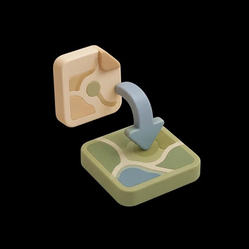
Three-dimensional illustration of importing a map from a QGIS file. Generated by AI.
Import files from QGIS

Use the maps you already have

Upload files from QGIS and other GIS tools (GeoJSON, Shapefile), and the areas and routes appear on the plan map. Imported files are available to the whole organisation, and you turn them on only in the plans and levels that need them.

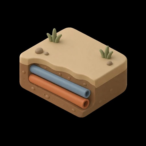
Three-dimensional illustration of underground utility networks. Generated by AI.
Underground utilities

See what is underground before the work starts

Turn on the Geoportal layer with water, sewer, gas, power, telecom and district-heating networks across your plan area. It is easier to plan tent anchoring, masts or excavations. The data is indicative.

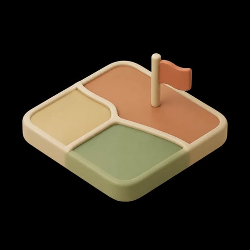
Three-dimensional illustration of plots and land ownership on a map. Generated by AI.
Land ownership

You know which plots belong to the municipality

One switch shows municipal plots and other ownership groups from the land register on the map, for example State Treasury land, together with plot numbers. Click a plot to see its details and turn it into a plan zone — for example to schedule mowing only on city-owned land.

Three-dimensional illustration of a team, permissions and organisation spaces. Generated by AI.
Team, permissions and spaces

Order in the plans and access of the whole organisation

Invite the team, grant edit or view-only access and group plans into spaces, for example by department or season. The contractor directory is shared across every plan, and a finished plan can be duplicated for the next edition of an event.

Three-dimensional illustration of the app available in five languages. Generated by AI.
The app in 5 languages

Polish, English, German, Spanish and Ukrainian

Everyone on the team and every contractor uses the app in their own language, including through the contractor link and the public preview. That makes it easier to work with partners and crews from abroad.

Generated by AI.

Build a plan for yourcity-wide event

One shared plan for the whole team. No more out-of-date PDFs and chaos in your inbox.